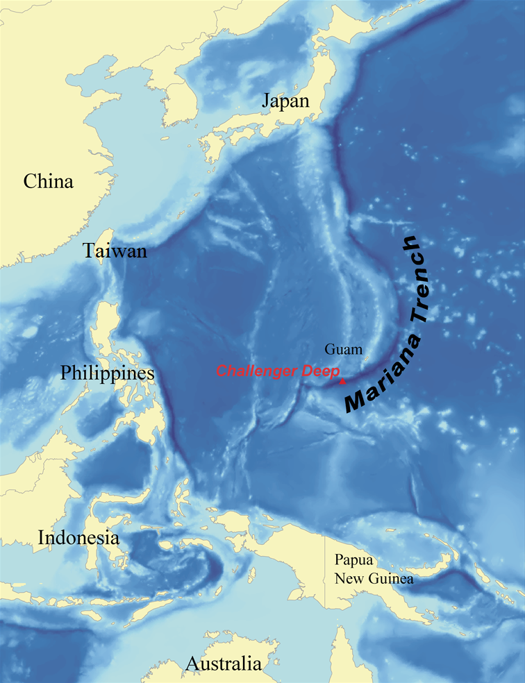
The Challenger Deep is the deepest known point of the seabed of Earth, located in the western Pacific Ocean at the southern end of the Mariana Trench, in the ocean territory of the Federated States of Micronesia.
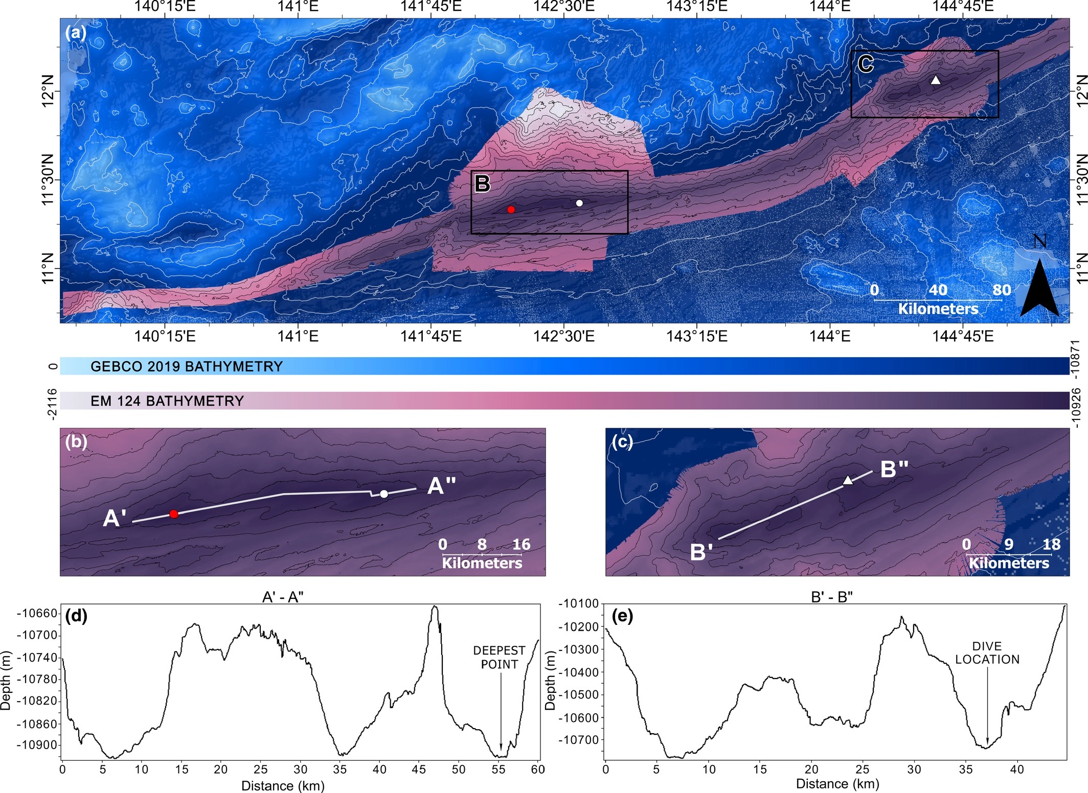
The GEBCO Gazetteer of Undersea Feature Names indicates that the feature is situated at 11°22.4′N 142°35.5′E and has a maximum depth of 10,920 ± 10 m (35,827 ± 33 ft) below sea level. A subsequent study revised the value to 10,935 ± 6 m (35,876 ± 20 ft) at a 95% confidence interval). However, both the precise geographic location and depth remain ambiguous, with contemporary measurements ranging from 10,903 to 11,009 m (35,771 to 36,119 ft).
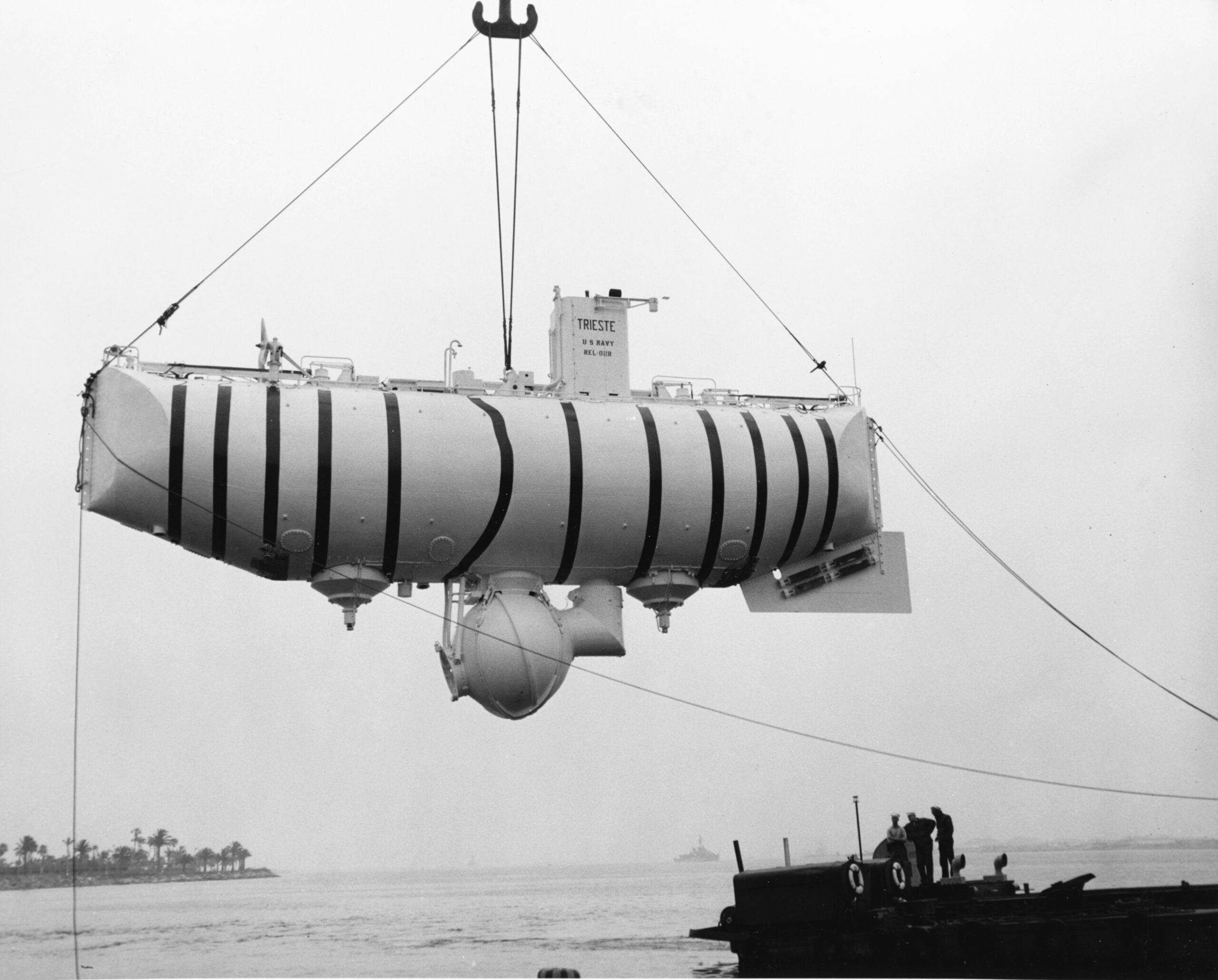
The depression is named after the British Royal Navy survey ships HMS Challenger, whose expedition of 1872–1876 first located it, and HMS Challenger II, whose expedition of 1950–1952 established its record-setting depth. The first descent by any vehicle was by the bathyscaphe Trieste in January 1960. As of July 2022, there were 27 people who have descended to the Challenger Deep.
Topography
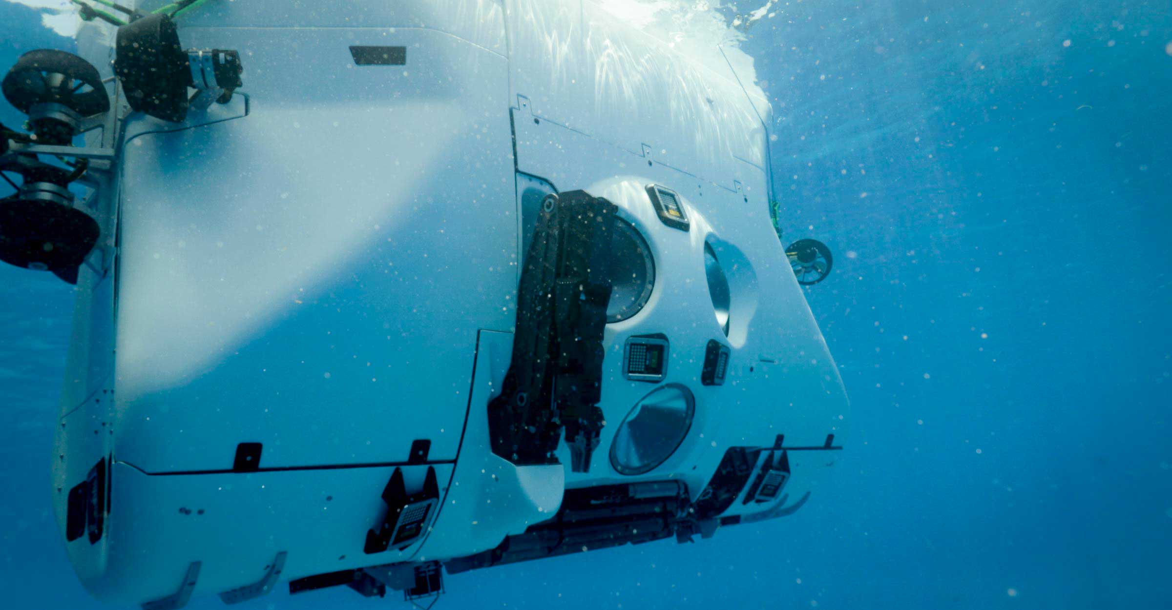
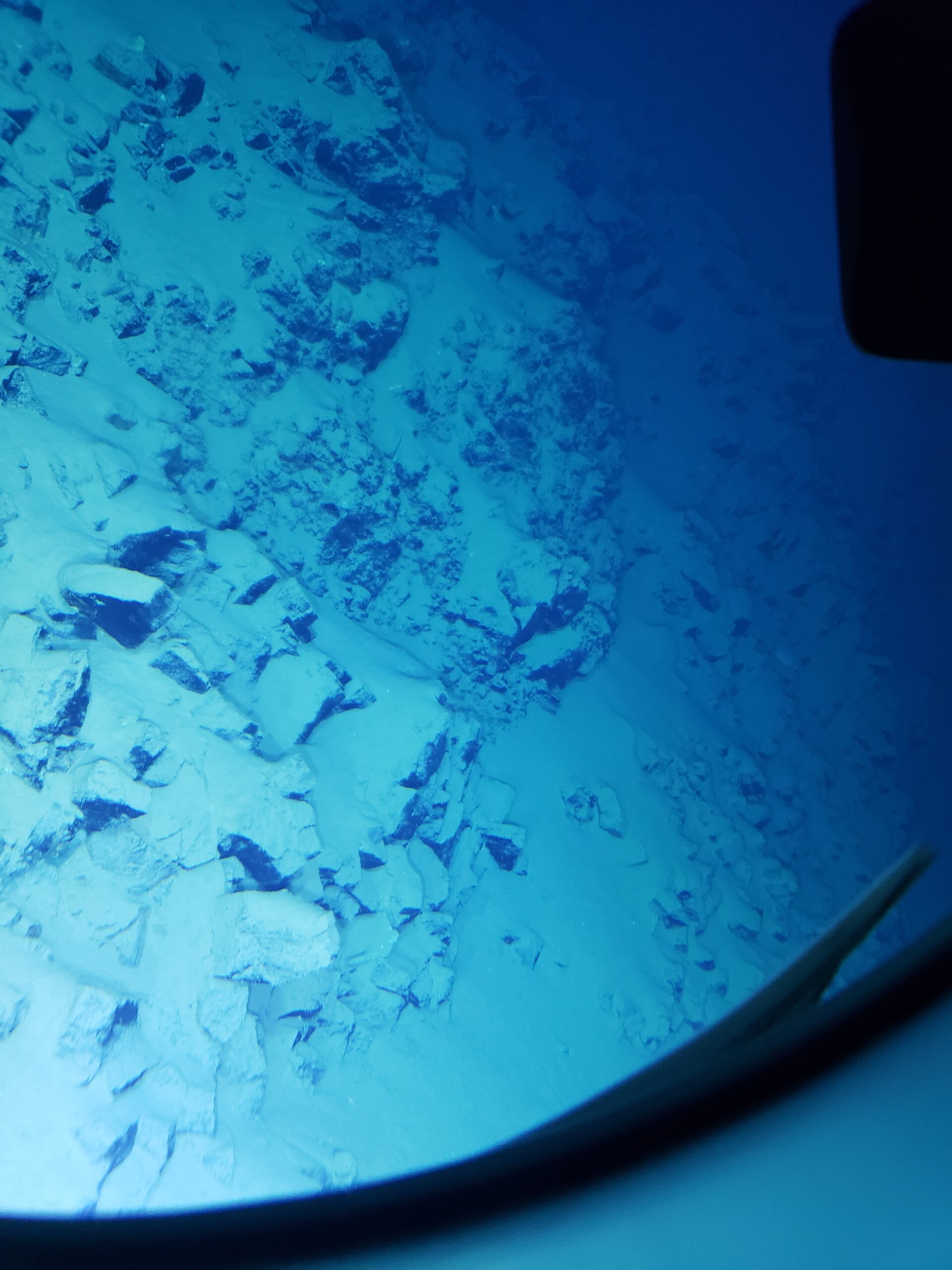
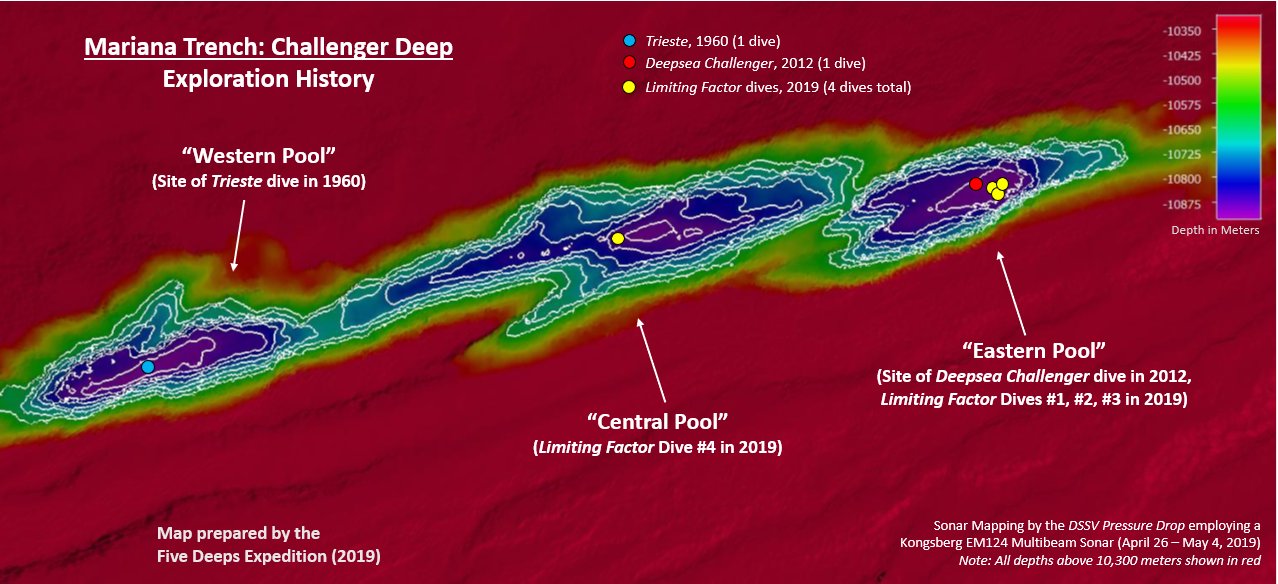
The Challenger Deep is a relatively small slot-shaped depression in the bottom of a considerably larger crescent-shaped oceanic trench, which itself is an unusually deep feature in the ocean floor. The Challenger Deep consists of three basins, each 6 to 10 km (3.7 to 6.2 mi) long, 2 km (1.2 mi) wide, and over 10,850 m (35,597 ft) in depth, oriented in echelon from west to east, separated by mounds between the basins 200 to 300 m (660 to 980 ft) higher. The three basins feature extends about 48 km (30 mi) west to east if measured at the 10,650 m (34,941 ft) isobath. Both the western and eastern basins have recorded depths (by sonar bathymetry) in excess of 10,920 m (35,827 ft), while the center basin is slightly less deep. The closest land to the Challenger Deep is Fais Island (one of the outer islands of Yap), 287 km (178 mi) southwest, and Guam, 304 km (189 mi) to the northeast. Detailed sonar mapping of the western, center and eastern basins in June 2020 by the DSSV Pressure Drop combined with manned descents revealed that they undulate with slopes and piles of rocks above a bed of pelagic ooze. This conforms with the description of Challenger Deep as consisting of an elongated seabed section with distinct sub-basins or sediment-filled pools.







Reviews
There are no reviews yet