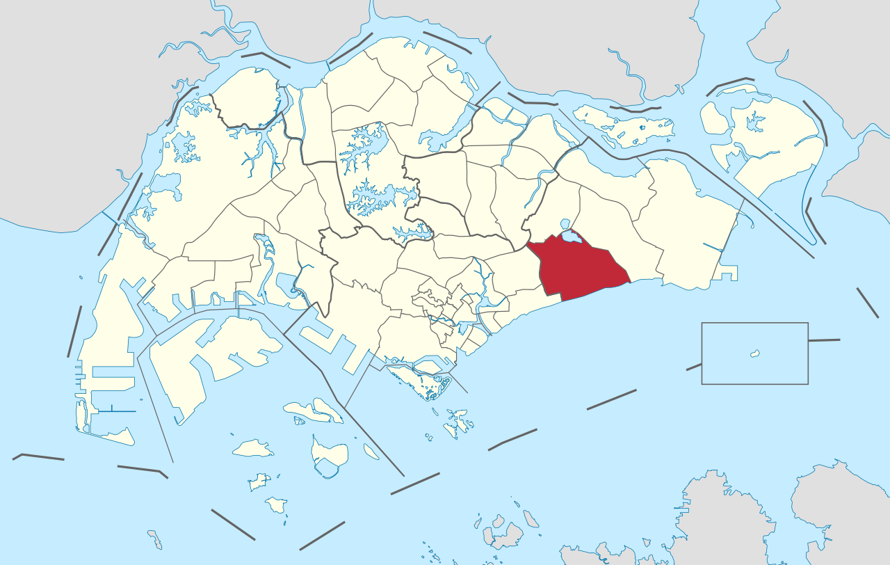
Bedok is a planning area and residential town located in the geographical region of Tanah Merah along the south-eastern coast of the East Region of Singapore. Bedok is bounded by five other planning areas: Paya Lebar to the north, Hougang to the northwest, Tampines to the northeast and east, Geylang to the west and Marine Parade to the southwest. It also shares a maritime boundary with the Singapore Strait to the south and southeast.
Bedok has a rich history, with evidence of human settlement dating back to the 14th century. The area was originally a fishing village and agriculture centre, but over the years it has transformed into a bustling residential and commercial hub. Today, Bedok is known for its vibrant and diverse community, with a mix of public and private housing options, shopping centers, parks, and a thriving food scene.
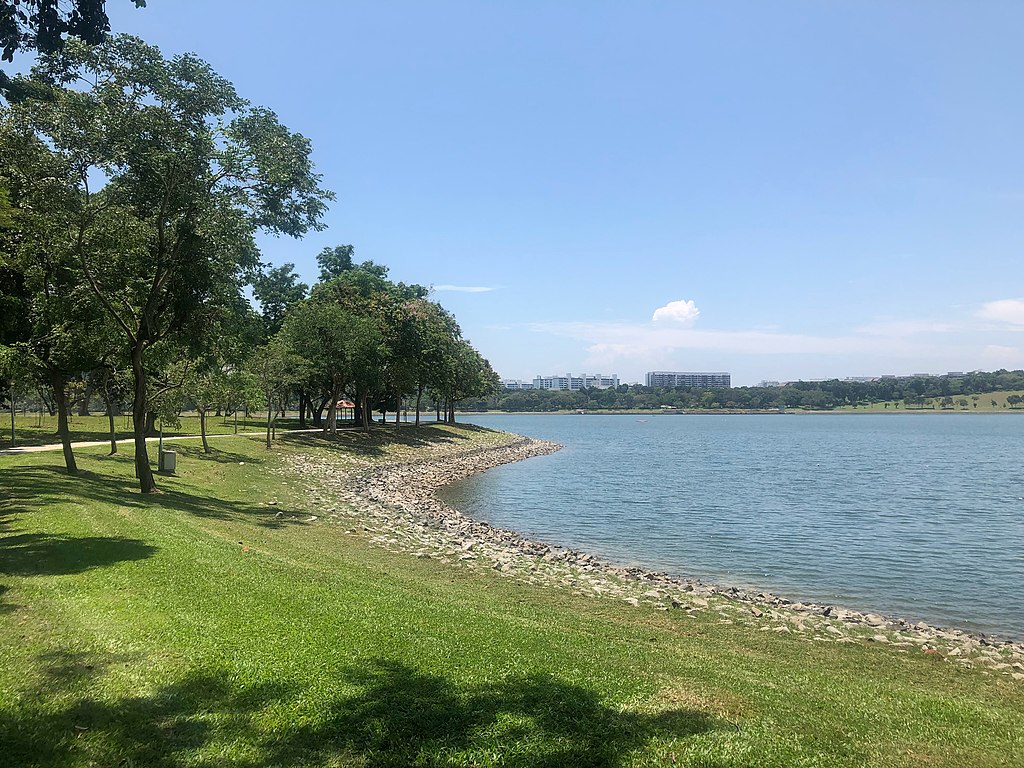
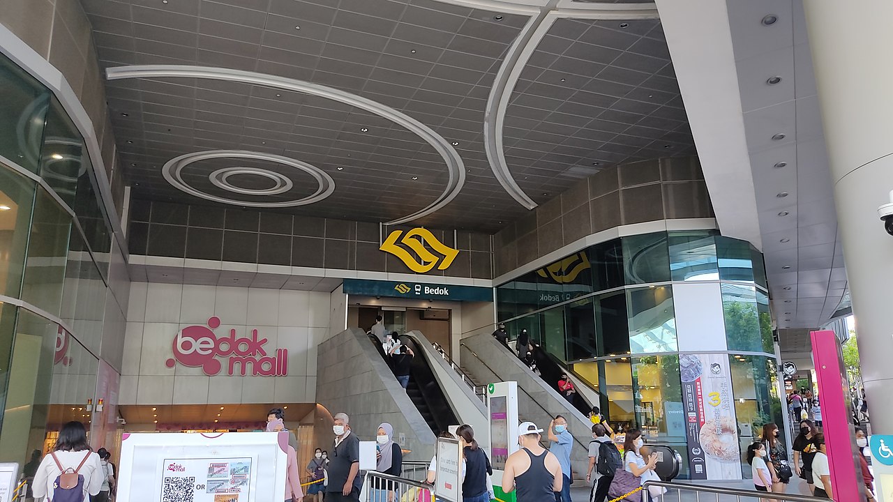
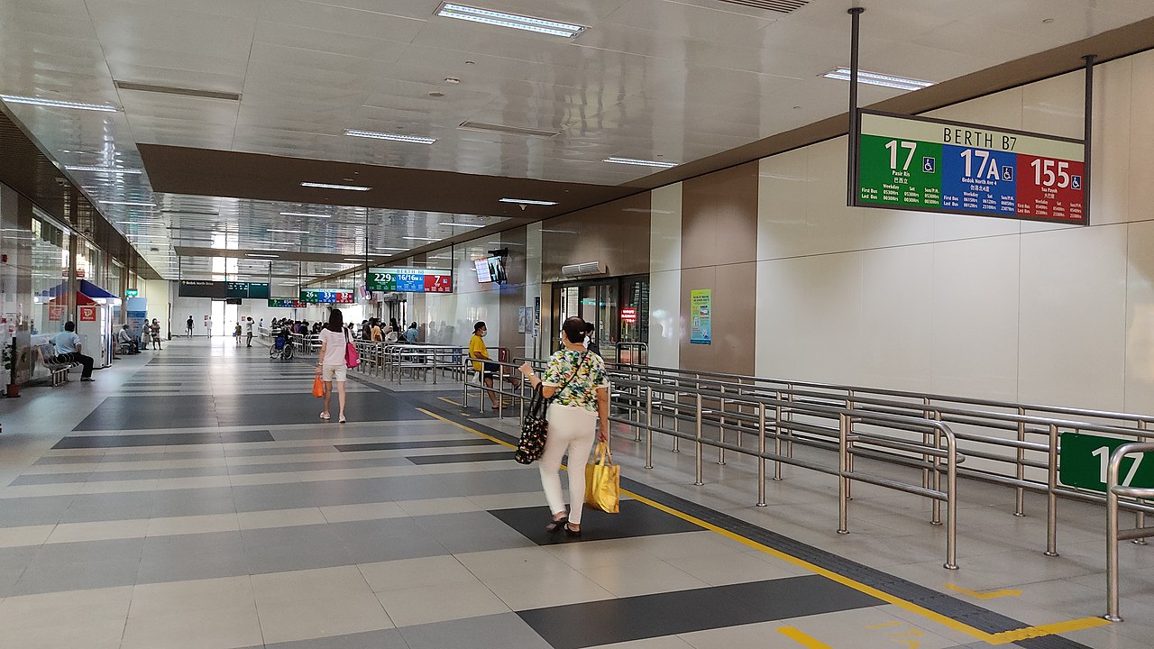
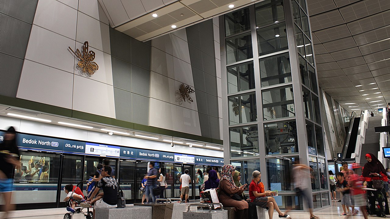
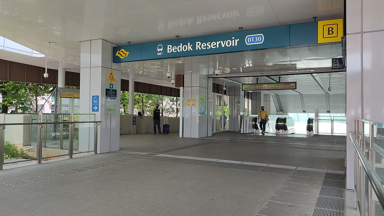
In addition to its commercial development, Bedok also boasts several green spaces and parks, including Bedok Reservoir Park and East Coast Park, providing residents with ample opportunities for recreation and relaxation. The area is also well-connected to the rest of the city, with a number of transportation options, including MRT stations, bus routes, and major expressways, making it an accessible and convenient location for residents and visitors alike.
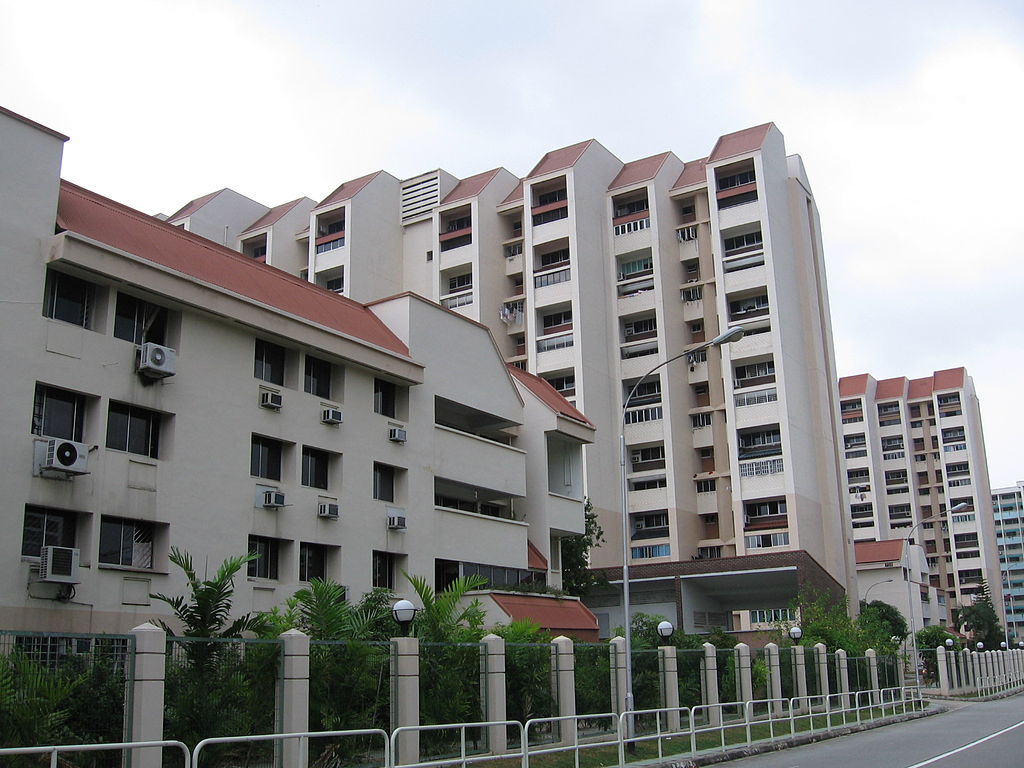
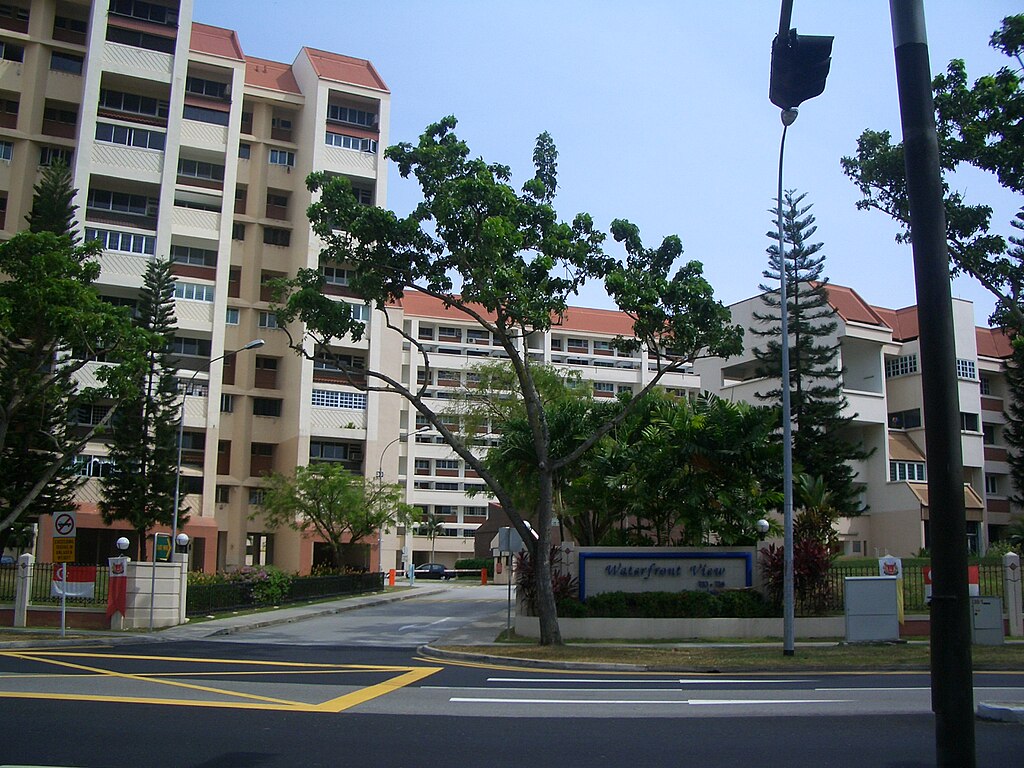
Population wise, Bedok is the largest planning area in the country, being home to approximately 280,000 residents. This high demographic is largely explained by the affordable public housing in Bedok New Town, due to its relatively distant location from the Central Area. Besides public housing developments, private residences are also prevalent in the area, most of which are found in the neighbourhoods of Bayshore, Frankel Avenue and Siglap, in western and southwestern Bedok.
History
As part of the Tanah Merah region, Bedok’s history is largely influenced by its coastal frontier. The general area known as Bedok today was first mentioned in maps dating to the pre-Raffles era. After Singapore was colonised by the British in 1819, Simpang Bedok Village became an ethnically mixed community consisting of Chinese and Malay peoples. Before the 1960s, Bedok’s primary source of income was coconut, which was harvested from the plantations found in the Siglap subzone. Fishing was another primary source of income for the villagers of Simpang Bedok at the time.
The modern development of Bedok only began in 1966, when reclamation works along the coastal area began. In the following decade, Bedok was transformed by the Housing and Development Board (HDB) into the country’s fifth self-contained new town, with the first residential flats emerging in the vicinity by 1975. Following the Fall of Saigon that same year, Bedok Jetty became a focal point for Vietnamese refugees landing in Singapore during Operation Thunderstorm.
Bedok Town had been developed since 1973, with the newer roads such as Bedok Plain, Bedok Highway, and Bedok Heights being built until 1975. The New Upper Changi Road was fully built and opened in 1979, where the massive development had been completed except Bedok Reservoir and Kaki Bukit, which was built later between 1983 and 1988.










Reviews
There are no reviews yet