

 Sumod K Mohan sumodm@clesmon.edu")

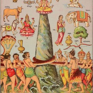
Kamet (Hindi: कामेत) is the second-highest mountain in the Garhwal region of Uttarakhand, India, after Nanda Devi. It is the 29th highest mountain in the world. It lies in the Chamoli District of Uttarakhand. Its appearance resembles a giant pyramid topped by a flat summit area with two peaks.
Climbing
Due to its position near the Tibetan Plateau, Kamet is very remote and not as accessible as some Himalayan peaks. It also receives a great deal of wind from the Plateau. However, by modern standards, it is a relatively straightforward ascent for such a high mountain. Early explorers of the region faced long approach marches of around 200 miles (321.9 km) from Ranikhet through dense mountain forest; access is easier today.

While attempts to climb Kamet began in 1855, the first ascent was not made until 1931 by Frank Smythe, Eric Shipton, R.L. Holdsworth, Raymond Greene, the expedition’s doctor, Bill Birnie and Lewa Sherpa, members of a British expedition. Kamet was the first peak over 25,000 ft (7,620 m) to be climbed, and was the highest summit reached until the first ascent of Nanda Devi five years later. However, far higher non-summit altitudes had been reached on the north side of Mount Everest in the 1920s.
The standard route begins from the East Kamet (or Purbi Kamet) Glacier, ascending via Meade’s Col (c. 7,100m/23,300 ft), the saddle between Kamet and its northern outlier Abi Gamin. From Meade’s Col the route ascends the northeast edge of the north face. The ascent to Meade’s col involves steep gullies, a rock wall, and several glacier climbs. Five camps are usually placed en route. The final ascent to the summit involves steep snow, possibly icy.


Reviews
There are no reviews yet